Overview
- Scattered showers and isolated storms Tuesday give way to more widespread, heavier rain overnight into Wednesday, with the steadiest rain expected Wednesday night into Thursday as the front organizes.
- Forecasters highlight a marginal to low‑end severe risk in spots, with damaging wind gusts, hail and torrential downpours that could trigger localized flash flooding.
- Dense overnight fog is likely in some areas, with visibility dropping under a half‑mile and hazardous early‑morning driving conditions.
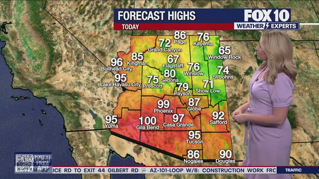
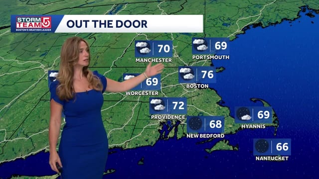
- Warm, humid air holds ahead of the front with highs from the 70s to 90s, then cooler, more seasonable and drier weather arrives late week into the weekend.
- Hurricane Gabrielle remains a major hurricane well offshore with no U.S. land threat, and additional tropical waves east of the Caribbean are being monitored for possible future development near the East Coast.


