Overview
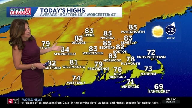
- Many regions start the week unseasonably warm, then turn cooler behind the front with highs falling into the 50s and 60s and first-frost potential in parts of New England by Friday morning.
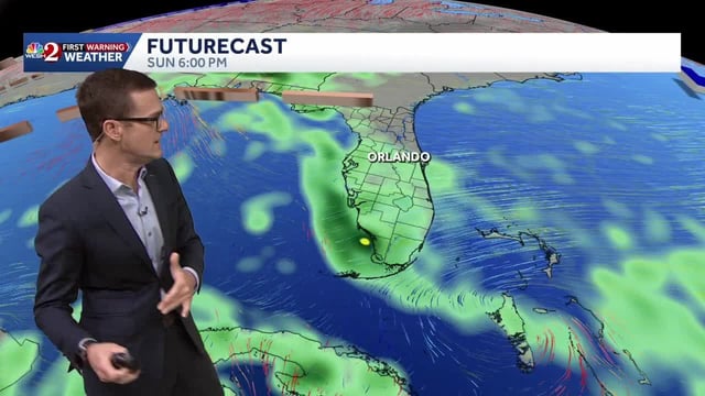
- The main rain window arrives Tuesday night into Wednesday, with common totals around 0.25 to 2 inches and localized pockets near 3 inches depending on where bands set up.
- Forecasters flag localized flooding in coastal and low-lying areas where onshore flow and torrential bursts focus heavier downpours, even as much of the country remains drier than normal.
- A widespread severe outbreak is not expected, though a few stronger storms with gusty winds or lightning are possible; the NWS is reviewing a radar-indicated tornado report from southeast Louisiana.
- The National Hurricane Center is monitoring Invest 95L in the Atlantic with roughly a 60% to 70% chance of development over seven days, with any longer-range track or coastal impacts still uncertain.


