Overview
- Mexico’s forecast calls for very strong to locally intense rainfall through Oct. 4, with risks of lightning, hail, flash flooding, rising rivers, landslides and urban inundation.
- Concurrent heat persists in the northwest and west of Mexico, with daytime highs of 35–40 °C in states including Baja California, Sonora, Sinaloa, Nayarit, Jalisco, Colima, Michoacán, Guerrero and Oaxaca.
- Coastal hazards are expected in Mexico, with 40–60 km/h wind gusts in Veracruz and the Isthmus of Tehuantepec and wave heights of 1.5–2.5 meters on parts of the Pacific and Gulf coasts.
- Argentina’s weather service issued orange and yellow alerts for southern Chubut and northern Santa Cruz, forecasting sustained winds near 60–70 km/h and gusts up to 120 km/h, with rain and a chance of mixed rain and snow at higher elevations.
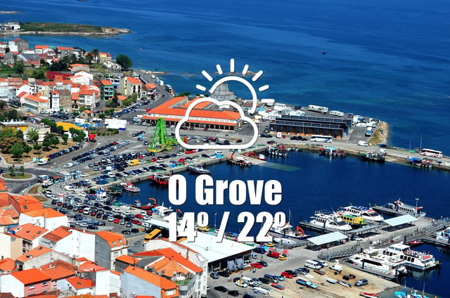
- Buenos Aires is forecast to turn stormy over the weekend with isolated thunderstorms and strong gusts on Saturday night, while Galicia in Spain is set for clear, dry and warm conditions on Oct. 1 according to AEMET-based local bulletins.


