Overview
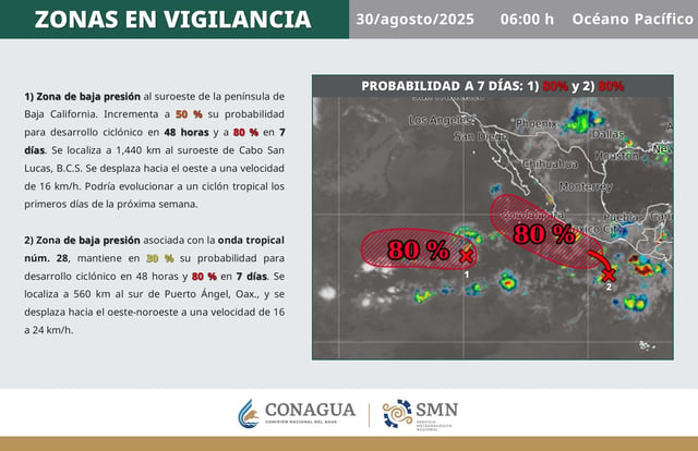
- The first low is about 1,440 km southwest of Cabo San Lucas, moving west at 16 km/h, with a 50% chance of development in 48 hours and potential to become a tropical cyclone early next week.
- The second low is tied to Tropical Wave 28 about 560 km south of Puerto Ángel, Oaxaca, moving west-northwest at 16–24 km/h with a 30% chance of development in 48 hours.
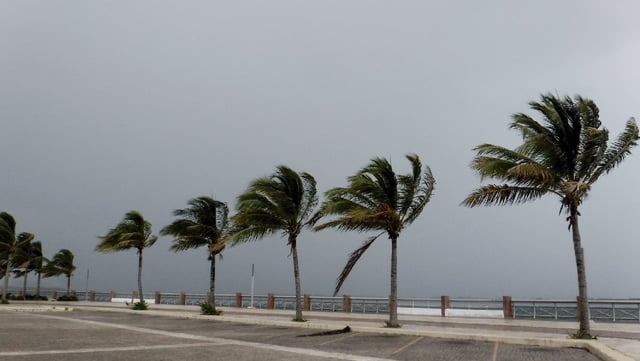
- SMN and Conagua caution that the systems could bring heavy rain, strong gusts and elevated surf to southern and western states.
- Tropical Wave 28 is expected to traverse southeastern Mexico and the Yucatán Peninsula from August 30 to September 1, sustaining a risk of intense rainfall.
- If formation occurs, the systems would take the names Kiko and Lorena in a season that has produced 10 cyclones so far, including five hurricanes, with 16–20 systems forecast overall.


