

Overview
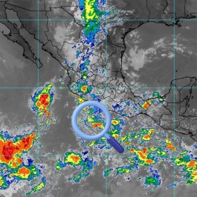
- SMN and Conagua report three areas of disturbed weather in the eastern Pacific with varying probabilities of cyclogenesis.
- The leading low linked to Tropical Wave No. 34 has an 80% chance of development in 48 hours and 90% in seven days, positioned about 1,225 km southwest of Punta San Telmo, Michoacán.
- A second low is expected to form south of Guerrero–Michoacán–Colima–Jalisco with a 40% seven‑day development chance, while a third low south of the Baja California Peninsula holds 10% odds and sits 560 km south‑southeast of Cabo San Lucas.
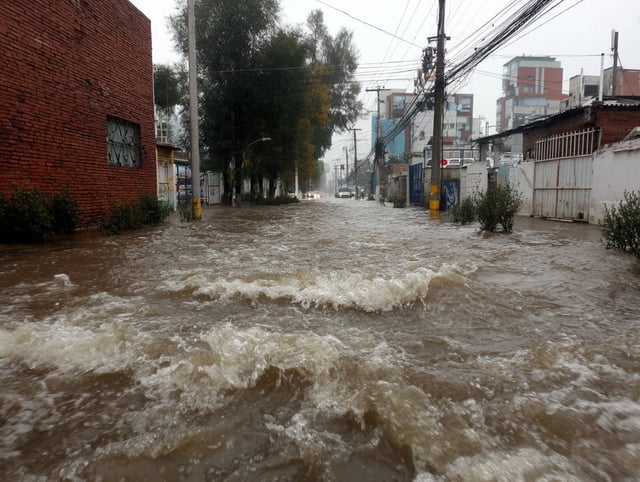
- Mexico City and the State of Mexico are forecast to see rain from around 15:00, with 25–50 mm in CDMX and 50–75 mm locally in Edomex, with possible lightning and hail.
- SMN projects strong to intense rainfall from Tuesday through Thursday across parts of the south, southeast, center and west, warning of floods, landslides, rising rivers and hazardous marine conditions.