


Overview
- SMN’s short‑term outlook for Aug. 21–23 cites the Mexican monsoon, low‑pressure channels and Tropical Wave 24 driving intense rains, thunderstorms, hail, gusty winds and rough seas across multiple regions.
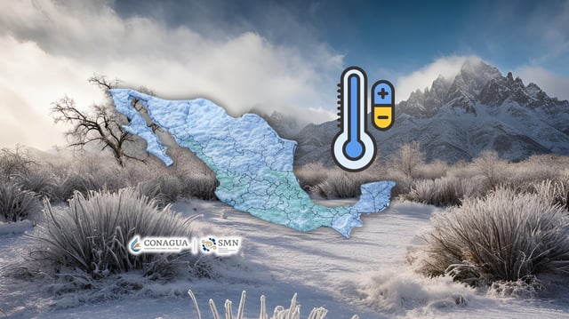
- Highland areas of Chihuahua, Durango, Estado de México, Tlaxcala and Puebla are forecast to see dawn lows of 0–5 °C on Thursday, with heat persisting elsewhere and maxima above 45 °C in parts of Baja California and Sonora.
- The official season runs Sept. 15 to May 15 with 51–56 frontal systems expected, peaking November to February and capable of producing >70 km/h gusts, heavy rain, freezes/low‑elevation snow and elevated coastal surf.
- Meteorological reports note a credible chance the first front could reach Mexico’s northern border late in August, so authorities advise following SMN, Conagua, Cenapred and Protección Civil guidance.
- Concurrent Southern Cone hazards include Argentina’s yellow wind alerts for Buenos Aires, Santa Fe, Entre Ríos and La Pampa with gusts up to 80 km/h, while Córdoba warns of strong gusts and extreme fire risk.