Overview
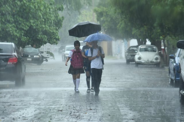
- Mexico’s meteorological service forecasts intense to very intense rainfall, strong winds and high seas through Saturday, with Chiapas highlighted for the heaviest totals.
- The Mexican monsoon, low-pressure channels, a cyclonic circulation aloft and tropical waves 23 and 24 are driving widespread storms across multiple regions.
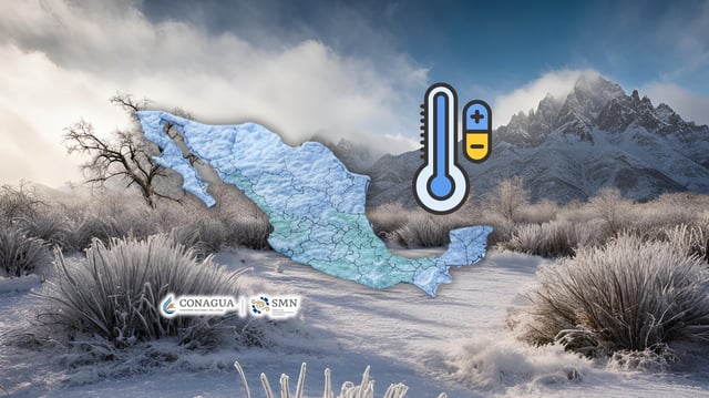
- Mountain zones in Chihuahua, Durango, Estado de México, Tlaxcala and Puebla are forecast to see 0–5 °C at daybreak on Thursday, while parts of Baja California and Sonora may exceed 45 °C.
- Authorities warn of reduced visibility, rising rivers and streams, landslides, urban flooding, fallen trees and damage to light structures, urging the public to follow SMN and Conagua advisories.
- The SMN set the 2025–2026 cold-front season for Sept. 15 to May 15 with 51–56 frontal systems expected, noting sharper temperature drops typically in northern and central states.


