Overview
- SMN reports one cold front will enter Baja California between Sept. 22–24 and another will approach the northern border, bringing strong winds and increasing rain chances in the north and northeast.
- A low‑pressure area south of Guerrero and Oaxaca has cyclonic development potential and, interacting with the monsoon trough and low‑pressure channels, will enhance rainfall from Jalisco and Colima to Michoacán and Guerrero.
- Official guidance highlights very strong to intense totals of 75–150 mm in parts of Guerrero, Oaxaca, Veracruz, Tabasco, Chiapas and Campeche, with 50–75 mm in Jalisco, Colima, Michoacán and Puebla.
- Mexican monsoon moisture sustains showers and storms across the Baja California Peninsula, Sonora, Chihuahua, Durango, Sinaloa and Nayarit, while the Yucatán Peninsula also faces strong storms and frequent lightning.
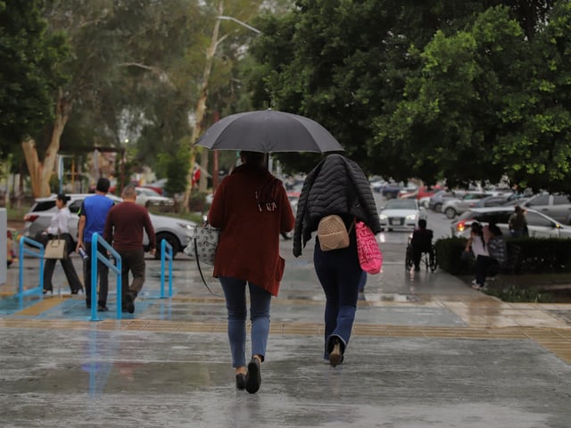
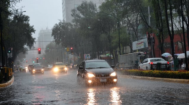
- Authorities warn of lightning, possible hail, rising rivers, urban flooding, landslides and hazardous coastal conditions, and note a broader season outlook of 48 cold fronts from September to May.


