Overview
- Mexico’s SMN and CDMX risk authorities forecast heavy to very heavy thunderstorms from roughly 13:00 to 23:00 with lightning, hail, flooding and landslide risk, fallen trees, and gusts near 40 km/h.
- The SMN ties the central Mexican storms to a low‑pressure channel and Gulf moisture, with very heavy rain in Veracruz and San Luis Potosí and strong showers in the capital and neighboring states.
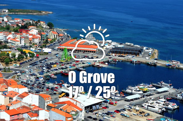
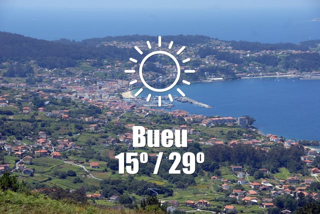
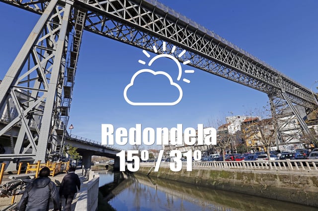
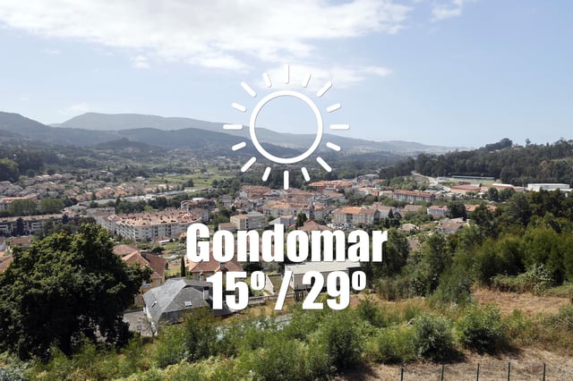
- Galician municipal forecasts sourced to AEMET call for a dry, mostly sunny day with a 0% chance of rain and highs generally in the mid‑to‑high 20s Celsius, locally near 30–32°C.
- Basque emergency services kept recent yellow warnings for intense precipitation in Bizkaia and Gipuzkoa, while AEMET and Euskalmet anticipate a brief warmup Saturday in Vitoria before rain returns Sunday into Monday.
- Argentina’s SMN reports Santa Fe under clear skies with no rain or wind alerts, temperatures around 10°C at the low and near 21°C for the high, and a 0% precipitation probability.


