
Overview
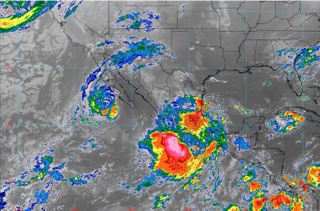
- Mexico’s national meteorological service forecasts very heavy to torrential rain, with 150–250 mm possible in parts of San Luis Potosí, Querétaro, Hidalgo, Puebla, Veracruz, Guerrero and Oaxaca, and widespread storms across much of the country.
- Tropical Storm Priscilla continues moving parallel to the western coast of Baja California Sur and is weakening, yet its circulation is still producing strong winds, heavy rain and elevated waves along that coast.
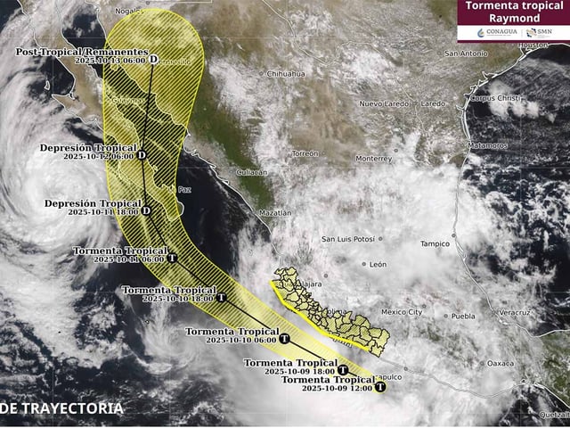
- Newly formed Tropical Storm Raymond is expected to affect the coasts of Michoacán, Colima and Jalisco with intense coastal rains, gusts of 70–90 km/h, 4–5 m waves and a risk of waterspouts near shore.
- Cold Front No. 6 is forecast to enter Baja California this weekend, bringing strong winds, high surf and subzero early‑morning temperatures in some areas, with guidance noting potential interaction with Raymond as it passes offshore.
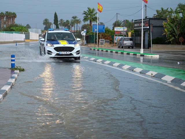
- Civil protection authorities have activated alerts and issued safety guidance, with Veracruz already suspending classes statewide earlier this week and officials warning of flash floods, landslides, river rises, lightning and possible hail.