
Overview
- Met Office meteorologist Alex Burkill says a moisture-laden high will bring stagnant, cloudy weather with locally dense fog over the coming days.
- Short-term forecasts keep conditions mostly dry and settled under high pressure with light winds, chilly nights and patchy fog, and only limited drizzle in places.
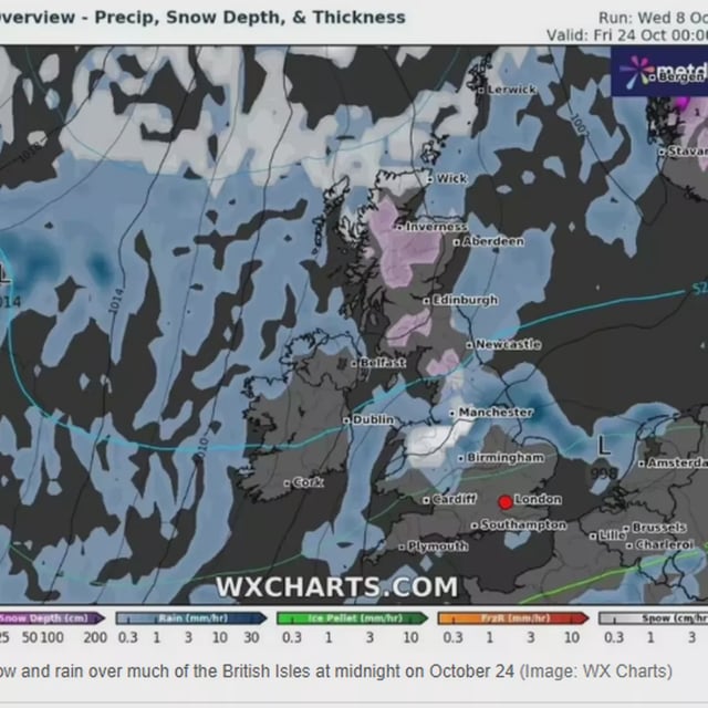
- WX Charts and Ventusky maps indicate a broad, roughly 400‑mile band of rain could sweep the UK around Saturday, October 18 before clearing from the west.
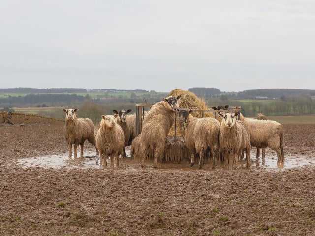
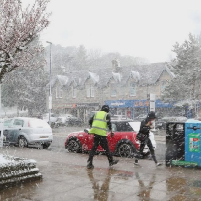
- Subsequent model runs suggest a colder spell around October 21–24 with frost and the potential for a light dusting of snow in parts of Scotland, with some outputs showing flurries reaching northern and central England and Wales.
- The Met Office long-range outlook for October 23 to November 6 highlights changeable weather with low pressure likely at times and stresses that any specific snow projections from private models are low confidence.