Overview
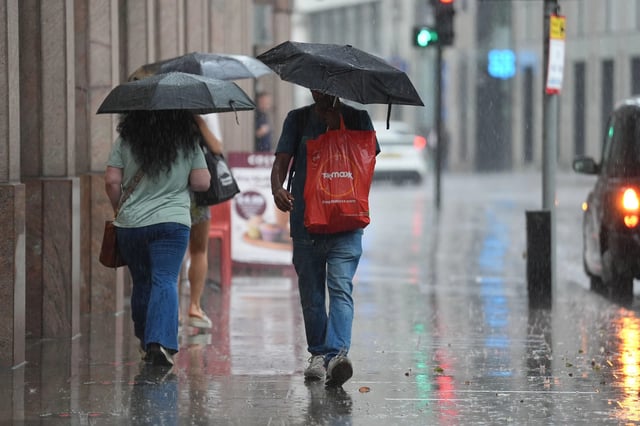
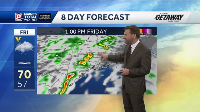
- Yellow warnings cover parts of southern England and Wales from Thursday night into Friday, with 10–20mm possible in under an hour and 50–70mm in a few hours near coasts and hills.
- Forecasters expect a deepening low to track across the UK on Saturday, bringing widespread rain and coastal gusts potentially exceeding 50 mph.
- Model guidance points to two main pulses of rain around August 30 and September 3, though exact timing and intensity remain uncertain beyond the short range.
- Met Office officials say parts of Wales, northwest England and western Scotland are most at risk of impacts, including flooding and transport delays.
- Summer 2025 is assessed as almost certainly the UK’s warmest on record, and hosepipe bans in several regions remain in force despite the incoming rain.


