Overview
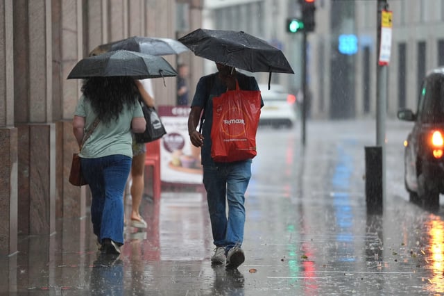
- Forecasters expect a deep area of low pressure to develop on Saturday and track northeast through Sunday, delivering 10–20mm of rain widely with gusts likely over 50mph on coasts, headlands and high ground.
- The Met Office’s outlook through early September points to changeable conditions with showers or longer spells of rain for most areas, along with a risk of thunderstorms, hail and occasional strong winds, especially in the west.
- GFS and WXCharts model guidance signals two broad rain bands affecting the UK around August 30 and again near September 3, with locally intense downpours reported on the charts.
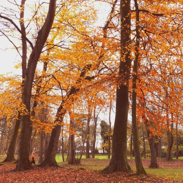
- Temperatures are set to hover near or slightly below average after the recent heatwaves, with brief drier or brighter interludes possible and some long‑range guidance hinting at a short warm spell in the south around September 8.
- Provisional Met Office data indicate summer 2025 will almost certainly be the UK’s warmest on record at about 16.13C, despite a wetter, windier close to the season.