

Overview
- An Atlantic‑sourced high‑pressure system is trapping moisture over the UK, bringing widespread low cloud, murky conditions and a risk of locally dense fog.
- Met Office guidance says there is no significant snow in the immediate forecast, with a largely settled spell, variable cloud and occasional drizzle, mainly in the north and west.
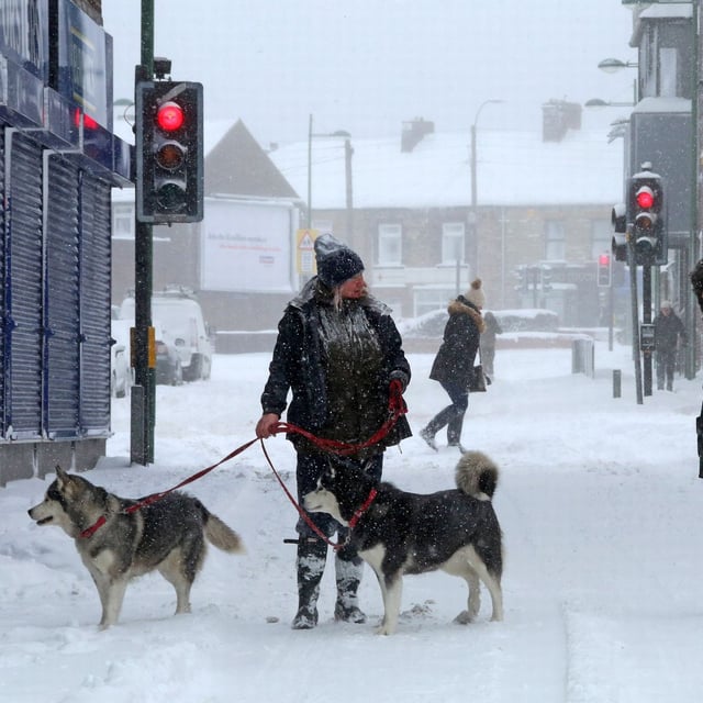
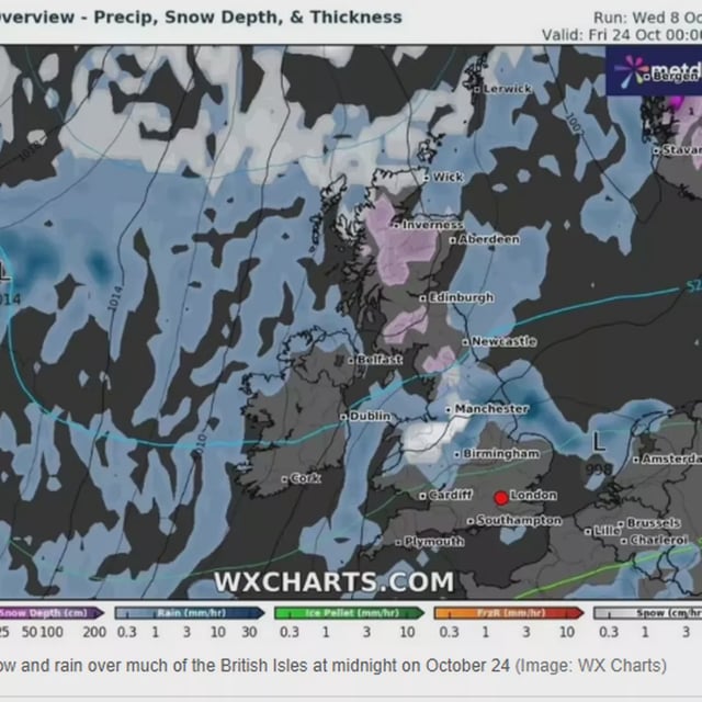
- WX Charts, using GFS/Met Desk data and echoed by Ventusky, signals a large rain band around October 18 followed by a colder pulse with possible flurries around October 21–24, chiefly in Scotland and parts of northern England and Wales.
- Officials from the Met Office and BBC stress that single long‑range model maps are not definitive and that snow timing is unreliable beyond roughly three to four days.
- A capping inversion is expected this weekend, likely producing extensive low cloud with peaks above roughly 1,000 metres in sunshine and potential short‑notice fog warnings for reduced visibility.