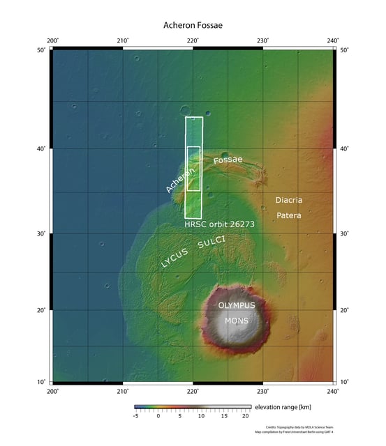
Overview
- The HRSC aboard Mars Express captured images of Acheron Fossae’s western edge in October 2024, with enhanced views released in July 2025 and detailed analyses published on August 6.
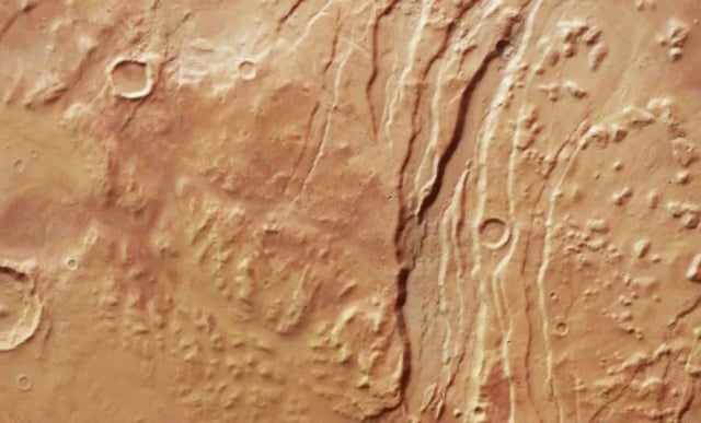
- The region displays kilometre-deep horst-and-graben faults formed over 3.7 billion years ago by volcanic upwelling stretching the Martian crust.
- Valley floors contain ice-rich rock glacier deposits that record alternating warm and freeze–thaw cycles driven by Mars’s axial tilt swings between 15° and 45°.
- The fossae margins transition into knobbly mounds, mesas and flat lowland plains that lie adjacent to Olympus Mons.
- Systematic HRSC mapping processed by DLR and Freie Universität Berlin has provided unprecedented color and 3D data to reshape our understanding of Mars’s geological and climatic evolution.