
Overview
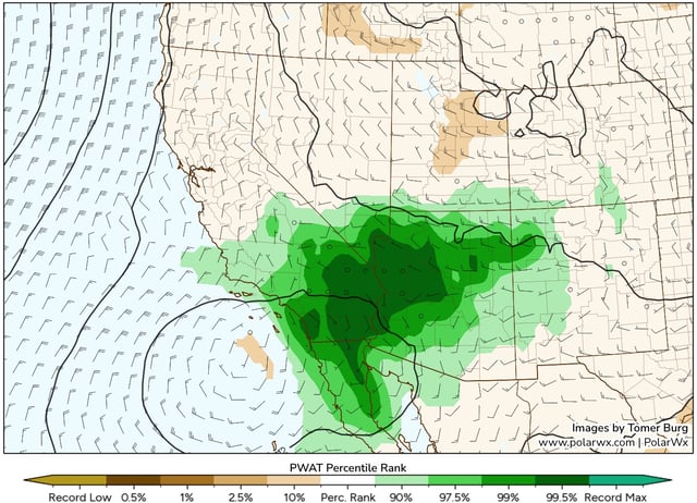
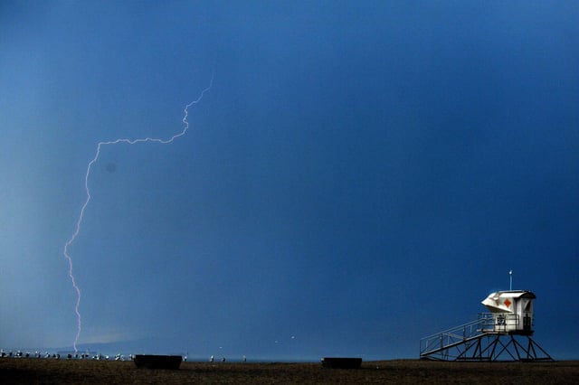
- The National Weather Service says subtropical moisture and instability will fuel storms capable of cloud-to-ground lightning, heavy rain and small hail across mountain and desert regions.
- Mountain ranges including Santa Barbara, Santa Monica, San Gabriel and San Jacinto have the highest thunderstorm probability with a 15–20% chance of storms drifting to coastal valleys.
- Mixed dry and wet storms raise the risk of wildfire ignitions from dry lightning and debris flows in burn scars such as the Bridge Fire and Eaton Fire areas.
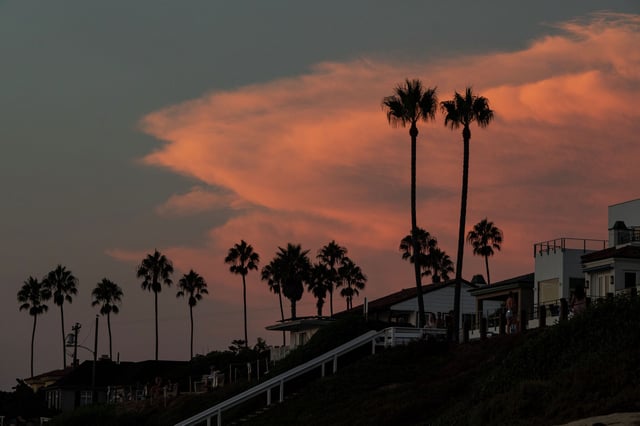
- The system ingested smoke from Canadian wildfires, leading to hazy skies and orange-tinted sunrises and sunsets in Northern California.
- After the system exits, high pressure will build and bring a gradual warming trend into the weekend alongside a return of overnight low clouds along the coast.