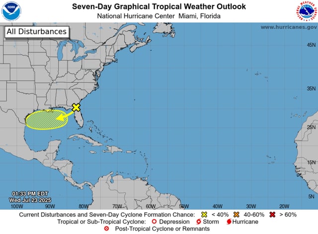
Overview
- The National Hurricane Center assigns a 10 percent chance of tropical cyclone formation over the next seven days before the system makes landfall and loses organization.
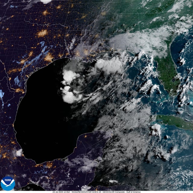
- Forecast models show the trough moving west-northwest across the north-central Gulf and coming ashore between eastern Texas and western Louisiana by Sunday.
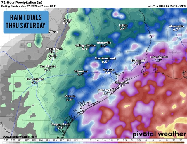
- One to three inches of rain are expected from the Florida panhandle to the central Texas coast, prompting marginal flash flood risk designations for low-lying areas.
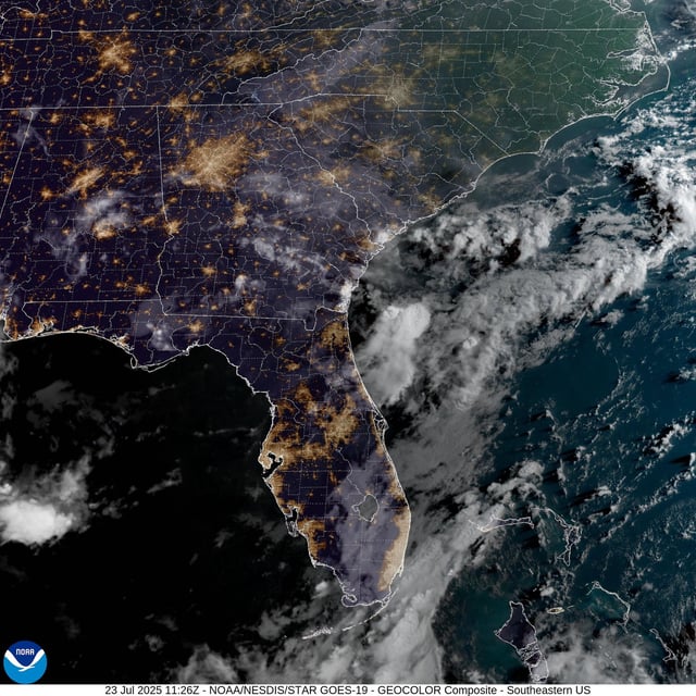
- The National Weather Service has issued moderate to high rip current advisories for Alabama and northwest Florida beaches through Friday.
- Two similar July troughs produced heavy showers without developing into storms despite above-normal Gulf temperatures and marginal wind shear