Overview
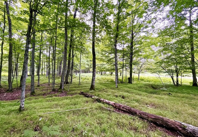
- Drone-mounted lidar mapping revealed over two square kilometres of earthen ridges used to cultivate maize, beans and squash between roughly 1,000 and 400 years ago.
- The field network spans an area ten times larger than earlier estimates, making it the most extensive preserved precolonial agricultural system documented in the eastern United States.
- Soil analyses and excavations indicate farmers enriched raised beds with composted household refuse and wetland sediments to boost crop yields.
- The layout and scale of the ridges imply coordinated labor and sophisticated planning among ancestral Menominee communities.
- The survey also exposed a circular dance ring, burial mounds, a historic building foundation and remains of a 19th-century logging camp.