

Overview
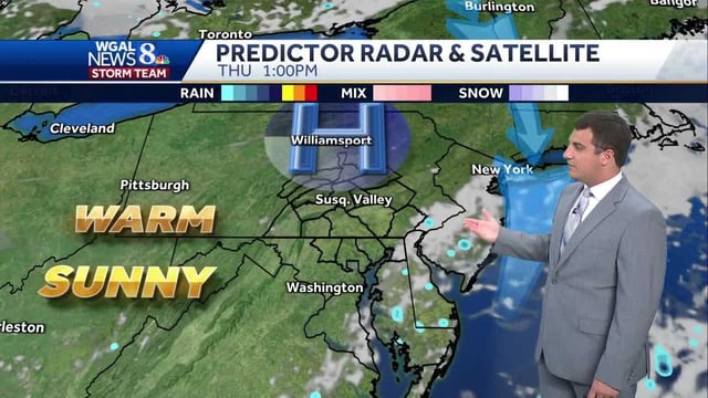
- High pressure is delivering sunny, quiet weather with highs in the mid-80s Thursday and overnight lows in the upper 50s to near 60.
- Friday turns warm and sunny with highs near 86 degrees, then a cold front brings a chance for spotty evening showers focused near the PA–MD state line.
- Temperatures ease to the upper 70s with plentiful sunshine Saturday, followed by a cooler Sunday with more clouds and an isolated shower possible.
- The U.S. Drought Monitor now shows a broad area of the Susquehanna Valley in the abnormally dry category, signaling developing moisture deficits.
- Above-average temperatures return early next week with highs near 80 on Monday and in the low 80s Tuesday, with rain chances increasing later in the week.