Overview
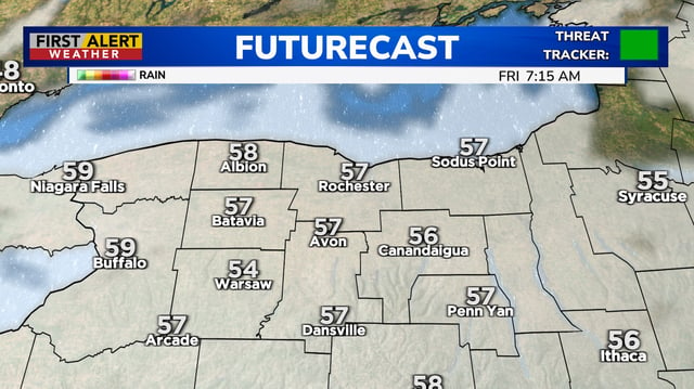
- A weak backdoor cold front slid through Friday, bringing cooler air to some areas with clouds and only isolated light showers.
- Highs remain above normal through the weekend—often in the 80s inland with 70s near some coasts—before a gradual cooldown with next week’s disturbances.
- Guidance calls for several rounds of scattered showers and thunderstorms from late Sunday through Wednesday, with no single all-day washout expected.
- The latest U.S. Drought Monitor shows expanding dryness, including moderate to severe categories in parts of the Ohio Valley and Mid-Atlantic, heightening the need for rain.
- Tropical Storm Gabrielle stays over the Atlantic and is forecast to remain away from the U.S. coast, though Bermuda may contend with stronger impacts and rough seas.


