


Overview
- High pressure keeps much of the country sunny and warmer than average through the weekend, with upper 80s to near 90 degrees in places from the Mid-Atlantic and Ohio Valley to Texas and Florida.
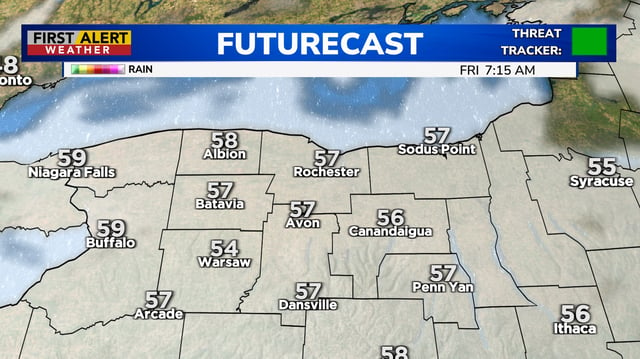
- A passing cold front cools the Northeast and parts of the Great Lakes on Friday, with New Hampshire and higher elevations facing the season’s first frost risk Friday and Saturday nights.
- Rain and thunder chances begin to return late Sunday and increase Monday–Tuesday in several regions, including Northeast Ohio, southern Wisconsin, the St. Louis area, and eastern Colorado.
- Drought indicators worsened this week in parts of the Ohio Valley and Northeast Ohio, where Cleveland has logged only 2.15 inches of rain since Aug. 1 and severe to extreme categories have spread in some southeastern communities.
- Tropical Storm Gabrielle remains over the Atlantic with guidance indicating possible strengthening over open water near Bermuda, and forecasters report no immediate U.S. impacts.