
Overview
- Highs are stuck in the upper 60s to low 70s, running roughly 8 to 15 degrees below late-August norms, with Tuesday pegged as the coolest day in parts of Northeast Ohio.
- Overnight lows are falling into the 40s away from the lakeshores, and forecasters say a few locations could challenge record lows.
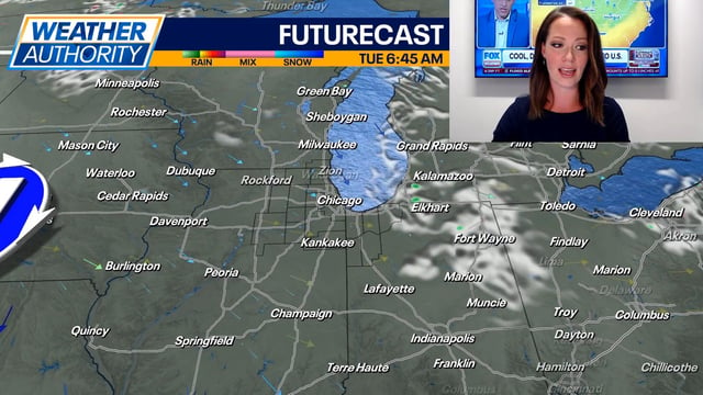
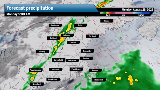
- Lake-effect clouds and spotty showers continue, with locally heavier downpours in traditional snowbelt areas and near a half-inch possible in isolated spots.
- Hazardous conditions on the lakes are prompting Beach Hazard Statements and Small Craft Advisories, with 3 to 6 foot waves, dangerous currents and a waterspout risk enhanced by brisk northwest winds.
- Forecasts point to a gradual warmup mid to late week, with a drier pattern and highs trending toward the upper 70s to near 80 by Sunday and Labor Day.