Overview
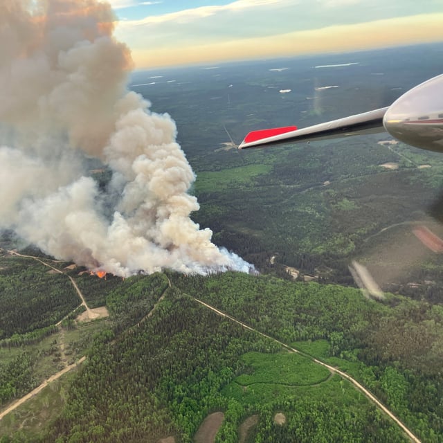
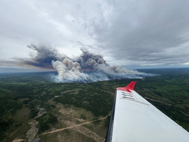
- The Kiskatinaw River fire, believed to be human-caused and discovered Wednesday, expanded from 11 km² to about 46 km² by Friday.
- Peace River Regional District issued evacuation orders for roughly 75 residents of Kelly Lake and nearby areas, directing them to Dawson Creek’s emergency reception centre.
- Smoke and flames near the Pembina Steeprock gas processing facility forced the closure of Highway 52E in both directions.
- BC Wildfire Service has deployed ground crews, helicopters, airtankers and heavy equipment to tackle aggressive fire behaviour.
- Forecasts of high winds, dry lightning and weekend thunderstorms have driven strategic positioning of resources to prepare for intensifying conditions.