Overview
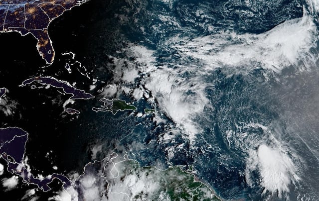
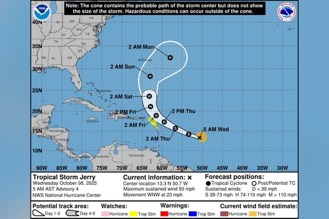
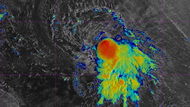
- As of early Wednesday, Jerry had 50 mph winds and was 835–890 miles east-southeast of the northern Leeward Islands, moving west-northwest near 23 mph.
- The storm is forecast to slow and turn northward on Friday, with its core passing near or just north of the northern Leeward Islands late Thursday into Friday.
- Tropical storm watches cover islands including Antigua and Barbuda, Anguilla, St. Kitts and Nevis, Montserrat, St. Barthelemy, St. Martin/Sint Maarten, Saba, St. Eustatius and Guadeloupe.
- Two to four inches of rain could trigger flash flooding in the Leewards, and swells are expected to bring life-threatening surf and dangerous rip currents, with peripheral effects possible for Puerto Rico and the U.S. Virgin Islands.
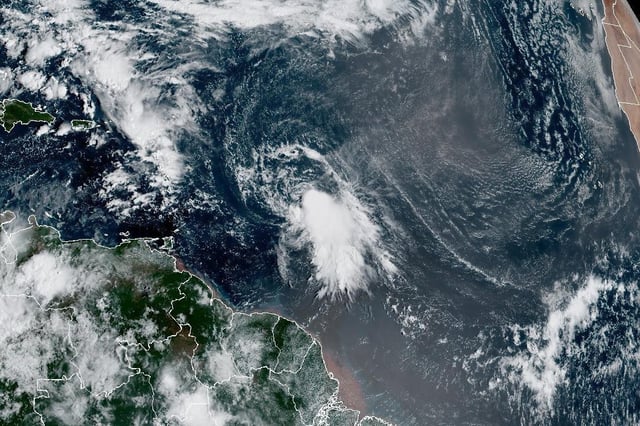
- Most model guidance shows a recurvature east of Bermuda and well offshore of the U.S., while a separate Bay of Campeche disturbance has a low (about 10%) chance of brief development before moving into southern Mexico with heavy rain.