Overview
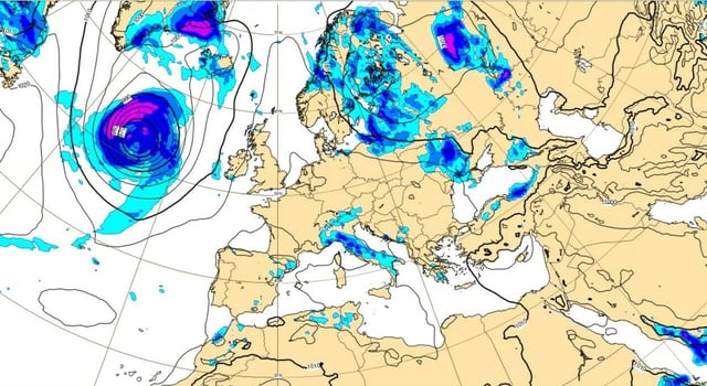
- Forecasts point to the peak risk on Thursday and Friday, August 28–29, with the most persistent and intense storms expected over the Northwest, especially Liguria, Piedmont and the upper Po Valley.
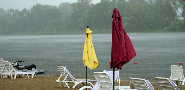
- Meteorologists warn of heavy rain, violent thunderstorms, downbursts and medium-sized hail, with Maestrale gusts up to about 100 km/h over the Mar Ligure and Bocche di Bonifacio producing rough seas and coastal surges.
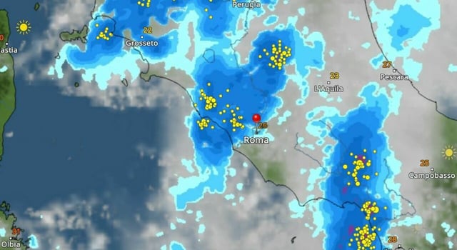
- A prefrontal phase on Thursday could cause slow-moving cells over the same areas for hours, raising the risk of flash floods before the main vortex transits on Friday.
- Central Tyrrhenian areas and Campania could see some showers or storms on Friday as the weakening front advances, while the South remains largely shielded during the core phase.
- Sardinia, Sicily and parts of Puglia and Campania are set for 72 hours of reinforced heat with highs up to around 39°C in Sardinia and 36–37°C elsewhere, before a weekend shift brings improvement in the North and gradual moderation farther south.


