

Overview
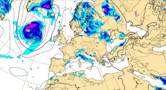
- After a brief lull through midweek, a pre-frontal phase on Thursday, Aug. 28 is expected to stall storm cells over Liguria and the North-West, raising flash-flood risk.
- The main low is forecast to peak on Friday, Aug. 29, hitting the North and parts of the Tyrrhenian Center, with some impacts extending to Campania.
- Hazards include violent thunderstorms with downbursts and hail, plus maestrale gusts up to about 100 km/h over the Mar Ligure and Bocche di Bonifacio, driving dangerous seas.
- The South and major islands are forecast to stay under an African anticyclone, with highs in the mid to upper 30s Celsius and local peaks near 38–39°C in Sicily and Puglia.
- Models suggest improvement over the North next weekend with residual instability, and a low-confidence chance of snowfall around 2,000–2,500 meters on the central-western Alps.