
Overview
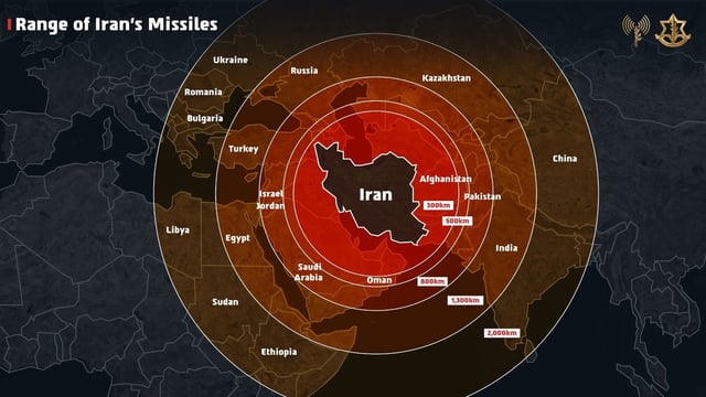
- On June 13, the IDF shared a graphic on X illustrating Iranian missile ranges that misidentified Jammu and Kashmir as part of Pakistan and depicted northeastern Indian states within Nepal.
- Indian social media users swiftly flagged the error and many tagged Prime Minister Benjamin Netanyahu to demand the post’s removal and correction, while the Indian government has remained publicly silent.
- Within 24 hours the IDF issued a formal apology on X, saying the map was only an illustrative graphic that “fails to precisely depict borders” and Ambassador Reuven Azar described it as “bad unintended infographics.”
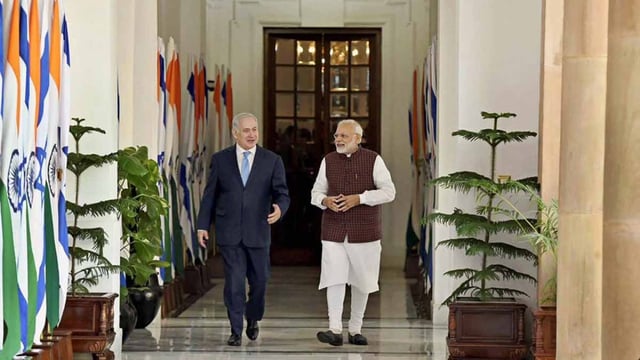
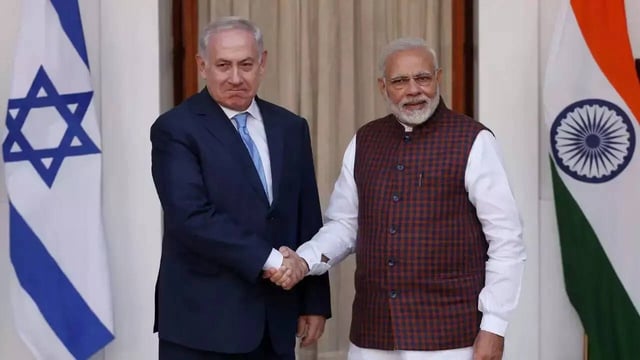
- The cartographic blunder has introduced fresh diplomatic tension into the robust India–Israel partnership, which has deepened through defence trade and strategic cooperation since 1992.
- The map error occurred as Israel launches Operation Rising Lion airstrikes on Iranian targets and Iran retaliates with missiles and drones, underscoring the wider regional conflict.