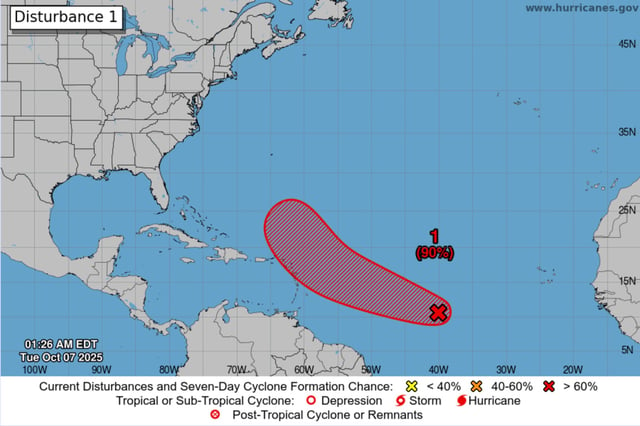
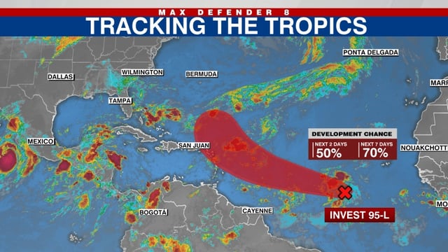
Overview
- The National Hurricane Center now puts development chances at 80% in 48 hours and 90% over seven days, saying a depression or storm is likely to form in the next day or so.
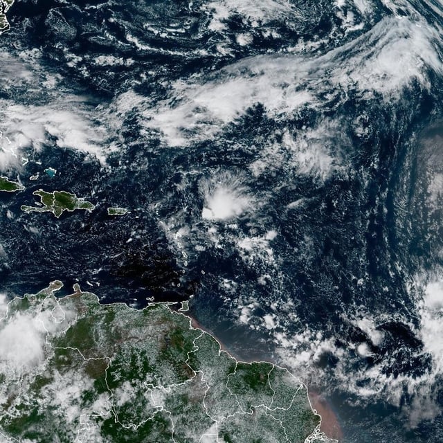
- The disturbance is about 1,500 miles east of the Windward Islands and moving west-northwest, with a close approach to the northern Leewards expected Thursday into Friday and island interests urged to monitor.
- Model consensus generally steers the core northeast of the Leewards before recurving over the open Atlantic, with Bermuda as a possible area to watch after the islands.
- Intensity projections range widely from a weak system to a hurricane, with dry air and shear likely to limit rapid strengthening; the next name on the list is Jerry.
- Separately, forecasters note a potential coastal low near the Southeast U.S. later this week and a weak Bay of Campeche disturbance, each carrying low and uncertain development odds.