
Overview
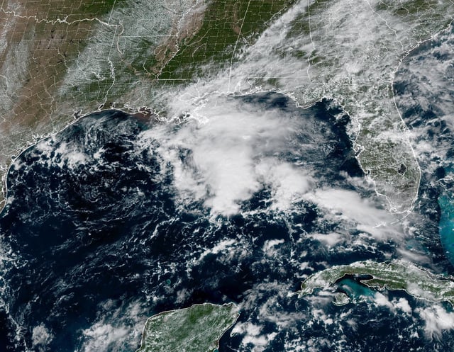
- The National Hurricane Center is tracking Invest 95L southwest of the Cabo Verde Islands with a roughly 60–70% chance of development within a week and a tropical depression possible by midweek.
- Early model guidance favors a turn north over the open Atlantic that keeps the system away from the U.S., though forecast track and intensity remain uncertain.
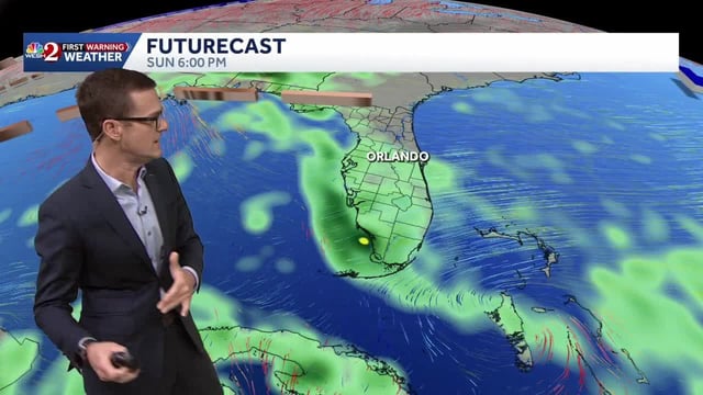
- Southeast Georgia, the Lowcountry and parts of Florida recorded 2–4+ inches of rain Sunday, with localized flooding and additional coastal showers expected into Monday.
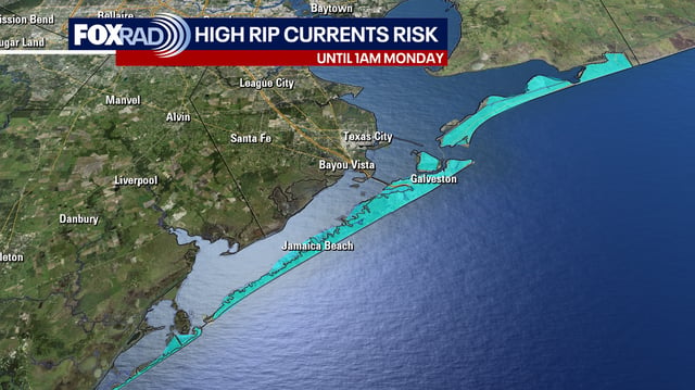
- Beach and marine hazards continue with a high rip current risk, rough surf producing 5–8 foot breakers and offshore seas up to 7–11 feet, prompting advisories.
- A cold front Tuesday night into Wednesday will end the early‑week warmth, bringing scattered showers and a drop to seasonable temperatures, with most inland areas receiving about a quarter to a half inch of rain before drier late‑week weather.