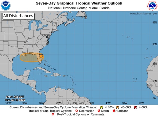
Overview
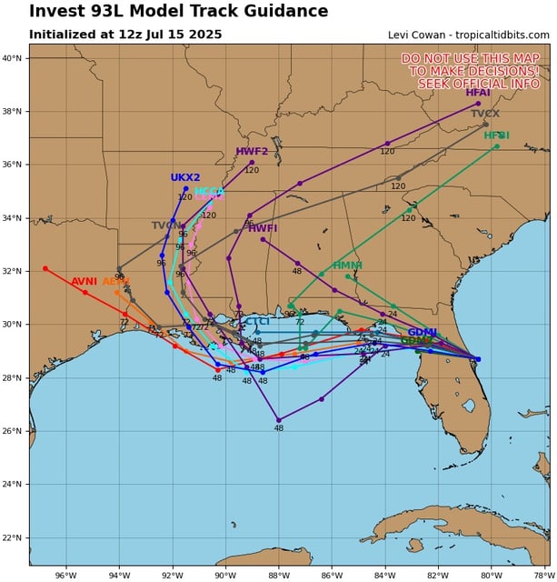
- The National Hurricane Center has raised Invest 93L’s development odds to 40% as it moves toward warm, low–wind-shear Gulf waters conducive to tropical cyclone formation.
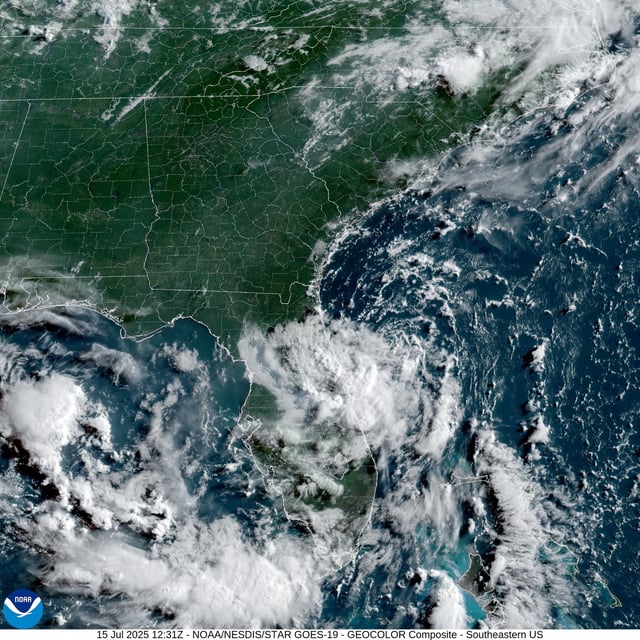
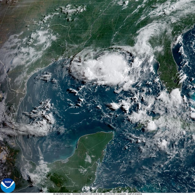
- After crossing the Florida Peninsula on July 15–16, the broad low-pressure area is now emerging into the northeastern Gulf of Mexico.
- Central Florida has already seen localized flooding, with gauges near Plant City recording over 10 inches of rain in a single event.
- Forecast models warn that heavy downpours could trigger flash flooding from southeastern Louisiana through Mississippi and Alabama by mid-week.
- National Weather Service offices are urging residents to monitor official alerts and avoid driving into flooded roadways, especially at night.