Overview
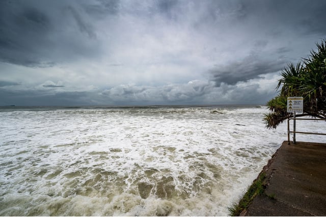
- Invest 93L has dumped 50 to 75 mm of rain across Florida, with isolated totals up to 125 mm and hourly rates of 25 to 75 mm, triggering flash flood warnings.
- The National Hurricane Center has designated the system Invest 93L and assigned a 40% chance of cyclone formation over both the next 48 hours and seven days.
- The U.S. Storm Prediction Center placed all of Florida under a severe thunderstorm watch for damaging winds, lightning and torrential downpours.
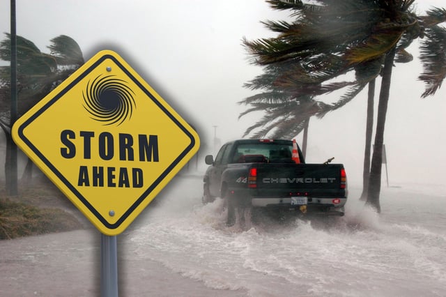
- Forecasts show the disturbance moving into the northeast Gulf by Wednesday, where warm sea surface temperatures and reduced upper‐level winds could allow it to organize into a tropical depression or storm by Friday.
- Should the system reach tropical storm strength, it will be named Dexter and could bring gusts up to 95 km/h, 0.3–0.9 m storm surge and flooding risks to Louisiana, Mississippi, Alabama and possibly Texas.