Overview
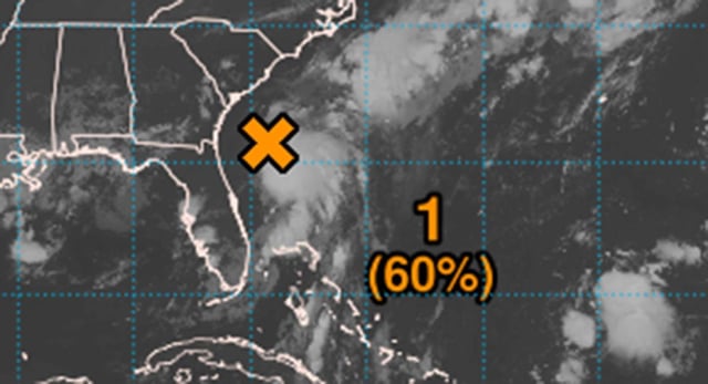
- The National Hurricane Center maintains a 60% probability of Invest 92L developing into a tropical storm within 48 hours as it drifts northward.
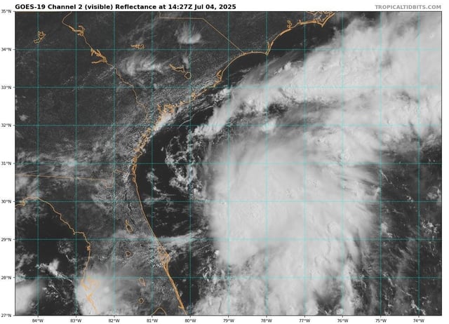
- An Air Force Reserve Hurricane Hunter aircraft is scheduled to probe the low-pressure system Friday to update intensity and track models.
- Marginal wind shear and warm sea surface temperatures may support a brief tropical or subtropical depression forming late Friday or Saturday.
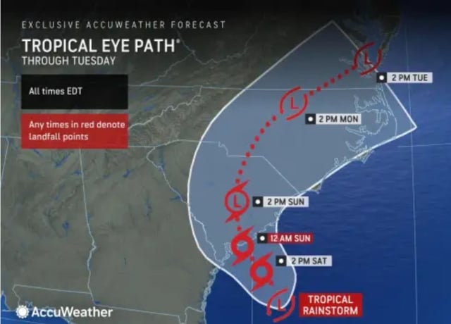
- Forecasters warn heavy rainfall and flash flooding from west-central Florida through coastal sections of the Carolinas beginning Saturday regardless of cyclone formation.
- Landfall is projected along the southeastern U.S. coast Saturday night or early Sunday without the system reaching hurricane strength due to its proximity to land.