
Overview
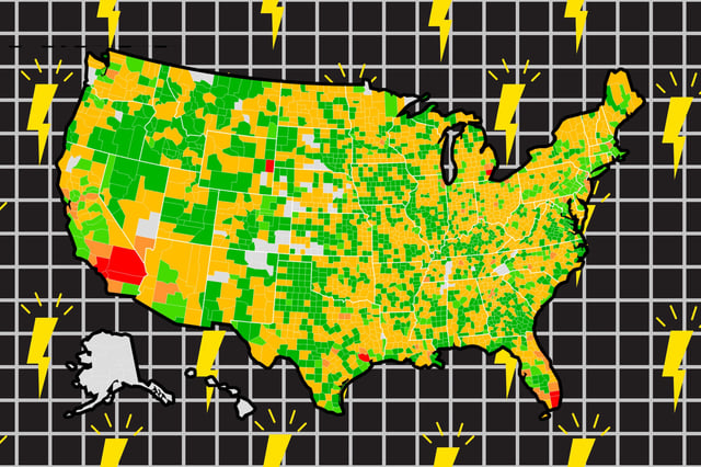
- The Power System Vulnerability Index and its interactive public map cover 3,022 counties—96 percent of the contiguous U.S.—and classify them by outage vulnerability.
- Analysis of 179 million utility-reported outage records from 2014 to 2023 underpins the index, enabling year-by-year comparisons of county risk.
- The model finds outages have grown by about 20 percent annually since 2019 in terms of frequency, duration and scale.
- High-risk hotspots include regions such as the West Coast, East Coast, Great Lakes corridor and Texas Gulf Coast, with 318 counties flagged nationwide.
- Researchers note that many AI data centers and other critical facilities overlap with hotspot areas, underscoring calls for targeted resilience investments.