Overview
- Digipin entered beta on June 4 and has since gathered user input to enhance its location precision.
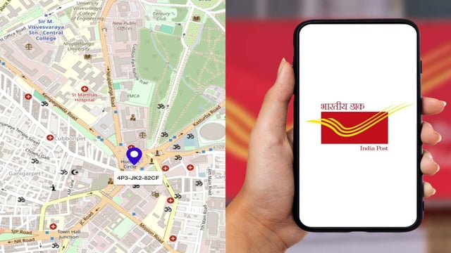
- The system generates 10-digit alphanumeric codes tied to specific 4m × 4m coordinates without capturing personal data.
- Developed in partnership with IIT Hyderabad and ISRO, Digipin uses satellite imagery and GPS to function with minimal infrastructure.
- The Department of Posts is evaluating a self-financing model to support the platform’s ongoing growth and stakeholder collaboration.
- As part of the Dhruva framework under the National Geospatial Policy 2022, Digipin aims to become a foundational Digital Public Infrastructure for logistics, emergency response and governance services.


