


Overview
- DIGIPIN divides India into 4m-by-4m geo-grids and assigns each a unique 10-character code based on latitude and longitude.
- The Department of Posts developed the system with IIT Hyderabad and ISRO’s National Remote Sensing Centre under the National Geospatial Policy 2022.
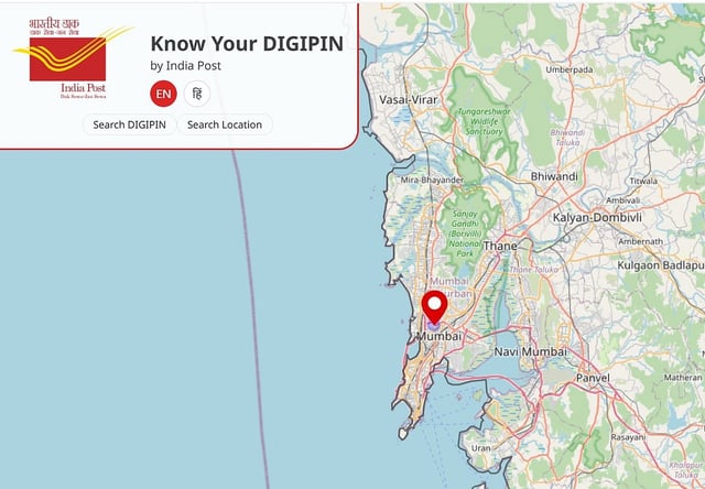
- Users can obtain their DIGIPIN via the ‘Know Your DIGIPIN’ portal using a GNSS-enabled device without sharing personal information.
- Thematic Working Group on Address has adopted DIGIPIN to enable Address-as-a-Service across government bodies and private firms.
- By complementing traditional addresses, DIGIPIN aims to sharpen logistics, emergency response and last-mile delivery in underserved areas.