Overview
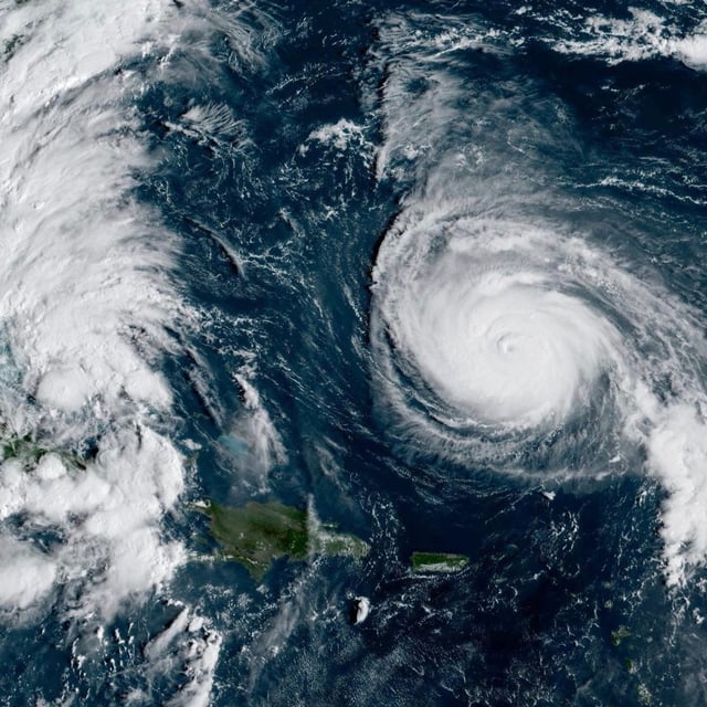
- At 5 a.m. ET, Imelda had 45–50 mph winds and was moving north near the northwestern Bahamas, with the National Hurricane Center expecting a turn east‑northeast and hurricane strength by Tuesday.
- Tropical storm warnings remain for Eleuthera, the Abacos and Grand Bahama, with 4–8 inches of rain through Tuesday and a 1–3 foot surge in the Bahamas prompting flash‑flood concerns.
- U.S. effects are forecast to be indirect, including 1–2 feet of water rise from the Volusia/Brevard county line to South Santee River, hazardous surf of 6–10 feet, life‑threatening rip currents and localized coastal flooding.
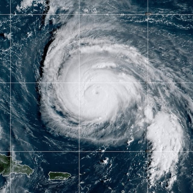
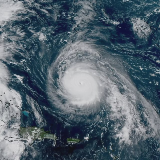
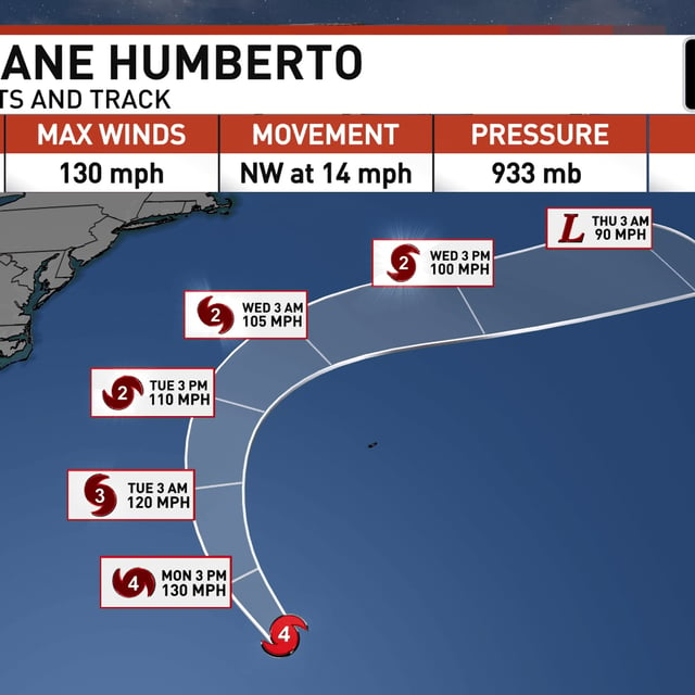
- Hurricane Humberto is a strong Category 4 about 375–400 miles south‑southwest of Bermuda, where a tropical storm watch is posted, and is expected to remain a major hurricane into Tuesday as large swells spread along the East Coast.
- South Carolina prepositioned search‑and‑rescue teams and North Carolina declared an emergency, as UK forecasters monitor potential downstream impacts from the evolving Atlantic pattern later this week.