Overview
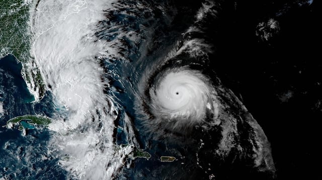
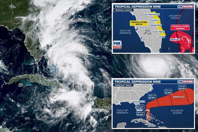
- As of Sunday, Imelda is near 24.2°N, 77.3°W with maximum sustained winds around 40 mph and is moving north at about 9 mph.
- Guidance points to a turn to the east-northeast by Tuesday with strengthening likely, and the storm is projected to reach Category 1 intensity Monday or Tuesday.
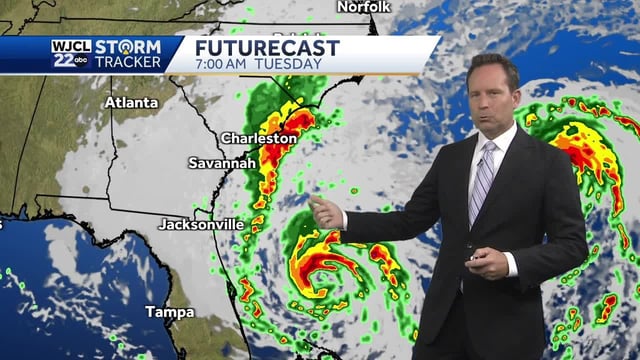
- The eastward track reduces the threat of widespread inland flooding for much of the Southeast, though the National Hurricane Center notes impactful conditions remain possible without a U.S. landfall.
- Northeast Florida and Southeast Georgia could see tropical-storm-force gusts, 1–2 inches of rain, coastal erosion, and 5–10 foot waves even as the center stays offshore.
- Near-term risks focus on the Bahamas, and if Humberto’s tug continues, Bermuda could face increasing risk later in the week.