
Overview
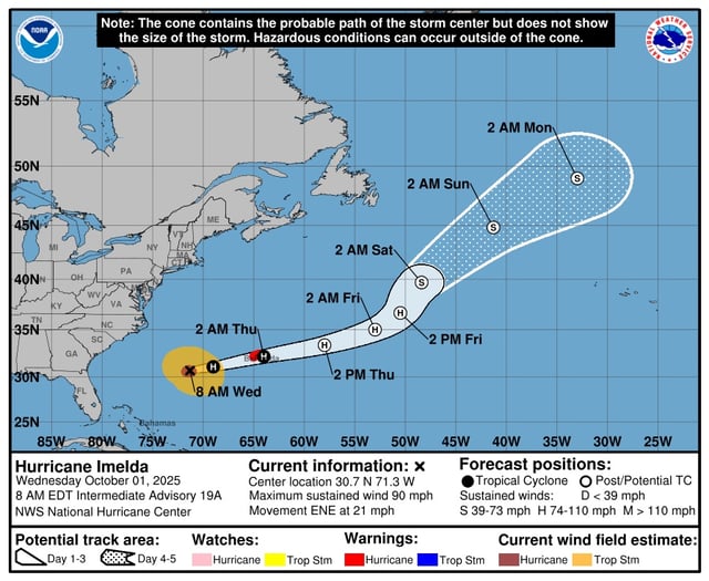
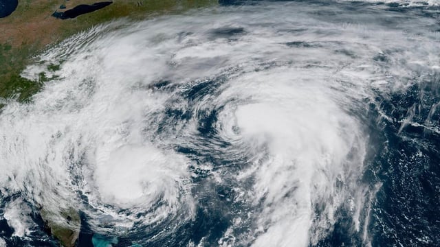
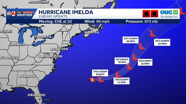
- Imelda’s core cleared Bermuda overnight, with the storm racing east-northeast and winds easing from 100 mph to about 85–90 mph as it tracked toward extratropical status.
- Bermuda closed schools, government offices and the airport, deployed soldiers for storm response, and reported scattered power outages while surf and coastal flooding affected exposed shores.
- Humberto has dissipated after merging with a frontal system, and its remnants — named Storm Amy by U.K. forecasters — are expected to reach Ireland and the U.K. starting Friday.
- Long-period swells from Imelda and Humberto are maintaining dangerous rip currents, high surf and pockets of coastal flooding from the Bahamas to New England, with at least five empty homes lost on North Carolina’s Outer Banks.
- The National Hurricane Center is monitoring two low-chance systems: a possible low near the northwestern Bahamas and South Florida (10% seven-day odds) and a tropical wave off Africa (20% seven-day odds).