Overview
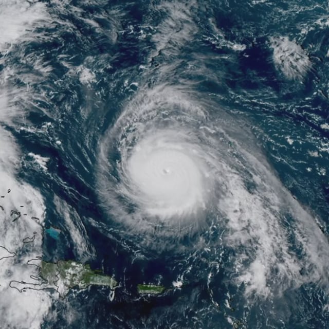
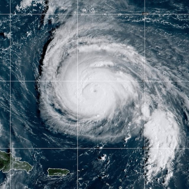
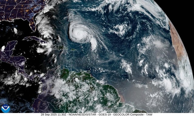
- Tropical Storm Imelda was about 295 miles southeast of Cape Canaveral early Monday, moving north near 8 mph with maximum sustained winds around 45 mph.
- The National Hurricane Center expects a sharp east‑northeast turn on Tuesday with gradual strengthening, and forecasts Imelda to reach hurricane intensity as it moves away from the U.S. coast.
- Tropical storm warnings remain for parts of the northwestern Bahamas, including Eleuthera, the Abacos and Grand Bahama, while the Bahamas government has discontinued warnings for the central Bahamas and for New Providence, the Berry Islands and Andros.
- Forecast rainfall totals include 4 to 8 inches across the northwest Bahamas and 2 to 4 inches over eastern Cuba with a risk of flash flooding and possible mudslides, with 1 to 2 inches (locally up to 4 inches) possible from northeast Florida to coastal South and North Carolina.
- Large swells from Imelda and Category 4 Hurricane Humberto are producing life‑threatening surf and rip currents along the U.S. East Coast and affecting Bermuda, with minor coastal flooding possible from Florida’s Volusia–Brevard line to South Santee River, South Carolina.