Overview
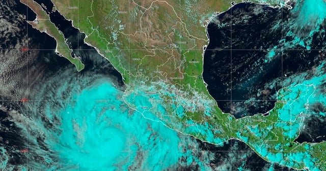
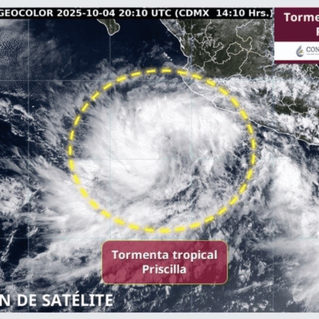
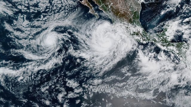
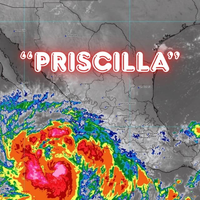
- Priscilla intensified to Category 1 on Sunday afternoon with sustained winds near 120 km/h and gusts up to 150 km/h, according to SMN/Conagua.
- The center was about 470 km south-southwest of Cabo Corrientes and roughly 780 km south-southeast of Cabo San Lucas, moving north-northwest around 6 km/h while remaining offshore.
- Authorities maintain a tropical-storm watch from Punta San Telmo, Michoacán, to Punta Mita, Nayarit, coordinated with the U.S. National Hurricane Center.
- Forecasts call for torrential rainfall of 150–250 mm in Michoacán and intense 75–150 mm totals in Jalisco, Colima, and Guerrero, with 4–5 m waves along the Jalisco, Colima, and Michoacán coasts.
- Guidance indicates the cyclone will track parallel to the Pacific coast and may progress toward Baja California Sur early this week as Protección Civil urges the public to heed official updates and avoid flooded areas.