

Overview
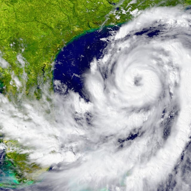
- As of Monday, Priscila was a Category 1 hurricane about 390 km south-southwest of Cabo Corrientes, moving north-northwest at 7 km/h with sustained winds near 140 km/h and gusts to 170 km/h.
- The forecast calls for strengthening to Category 2 while remaining offshore through early Thursday, then gradual weakening to Category 1, a tropical storm by Friday, and a post-tropical remnant by Saturday.
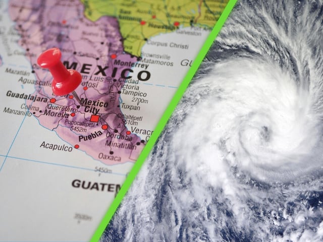
- Jalisco and Colima face the highest marine hazard with 5–6 meter waves, sustained coastal winds of 50–60 km/h and gusts up to 70–90 km/h, with lower but significant surf and gusts expected in Michoacán, Baja California Sur and Guerrero.
- SMN expects heavy to intense rainfall this week across wide areas including Jalisco, Colima, Michoacán, Guerrero, Oaxaca, Chiapas, Veracruz, Tabasco, Campeche and Quintana Roo, raising risks of flooding, river rises and landslides.
- Sonora’s civil protection agency is monitoring Priscila for isolated weekend showers and notes a separate Pacific low with about a 60% chance of development over the next seven days.