
Overview
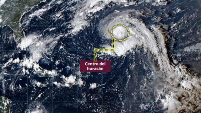
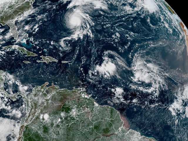
- Narda is classified as a hurricane southwest of Jalisco, with its bands set to bring very strong rains, gusty winds and waves near 2.5–3.5 meters along the coasts of Jalisco, Colima and Michoacán.
- SMN/Conagua forecasts very heavy to intense rainfall of 75–150 mm in Puebla, Guerrero, Oaxaca, Tabasco, Veracruz and Chiapas, and 50–75 mm in Nayarit, Jalisco, Colima, Michoacán, Campeche, Yucatán and Quintana Roo.
- Coastal winds are projected at 30–40 km/h with 50–70 km/h gusts for Michoacán and Guerrero and 20–30 km/h with 40–60 km/h gusts for Colima and Jalisco, creating dangerous marine conditions.
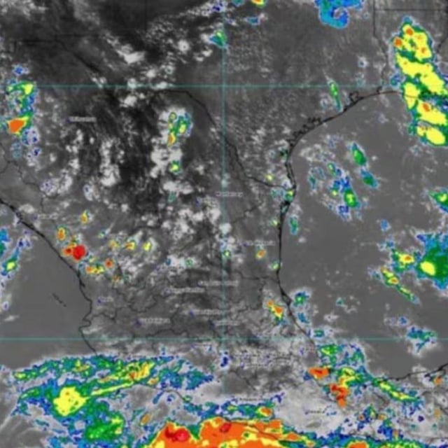
- Tropical wave No. 34, interacting with an upper‑level trough, is producing strong storms across the southeast and the Yucatán Peninsula, with regional forecasts calling for thunderstorms and locally strong winds.
- A new cold front approaching the north, interacting with the Mexican monsoon and a subtropical jet, will raise chances of gusts and showers in the northwest, alongside temperature extremes from 40–45°C highs in parts of Baja California, Sonora and Chihuahua to 0–5°C lows in some mountain areas.