
Overview
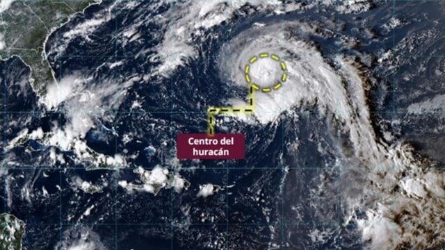
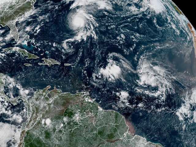
- Mexico’s weather service reports Narda as a hurricane southwest of Jalisco moving west‑northwest, with Category 2 intensity expected by Wednesday as its bands affect Pacific states.
- Coastal impacts include 2.5–3.5 meter waves and strong gusts along Jalisco, Colima, Michoacán and Guerrero, with civil protection urging people to avoid marine activities.
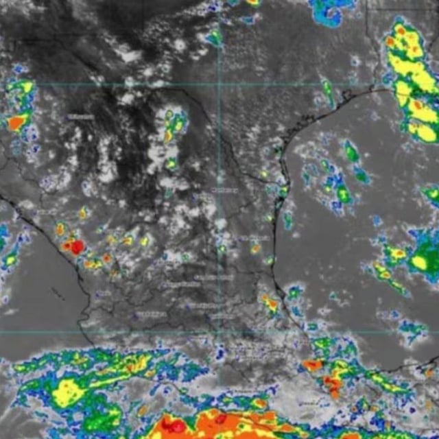
- Forecasts for Tuesday call for intense rainfall in Puebla (east), Guerrero (coast), Oaxaca (north/east), Tabasco (southeast), Veracruz (south) and Chiapas (west/south), plus very strong totals in Jalisco, Colima and Michoacán.
- Tropical Wave No. 34 and the monsoon will sustain storms over the southeast and Yucatán, while Cold Front No. 4 approaches the north with 40–60 km/h gusts and a risk of torbellinos in Chihuahua, Coahuila, Nuevo León and Tamaulipas.
- Authorities warn of flash floods, rising rivers and landslides, with temperature extremes from 40–45°C highs in Baja California, Sonora and Chihuahua to 0–5°C minima in highland areas of Estado de México, Tlaxcala and Puebla.