Overview
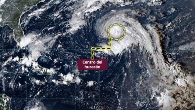
- Narda is now a Category 1 hurricane southwest of Jalisco, moving west‑northwest at about 20 km/h with sustained winds near 110 km/h and higher gusts, and forecasts indicate further strengthening to Category 2 as it tracks away from land.
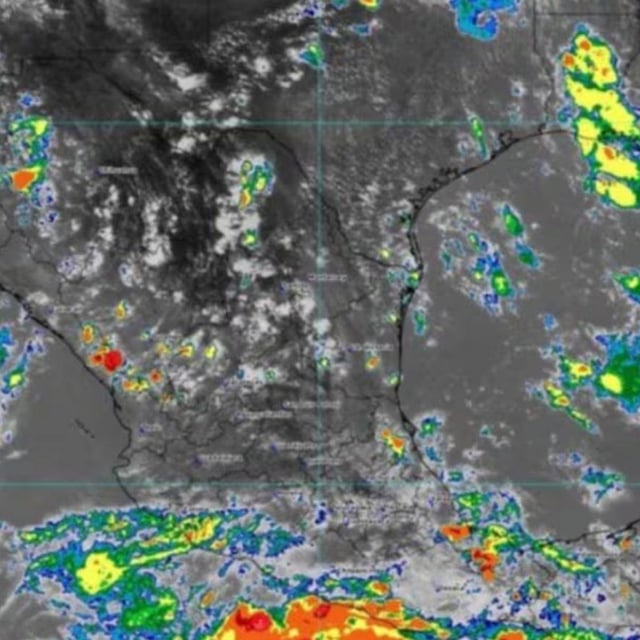
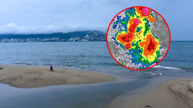
- Outer bands are delivering intense rainfall to Guerrero, Michoacán, Colima and Jalisco, with authorities highlighting risks of flash floods, river and arroyo overflows, and landslides.
- Coastal hazards include sustained onshore winds with gusts of 40–60 km/h and waves of roughly 2.5–3.5 meters along Michoacán and Guerrero, extending to 1.5–2.5 meters for Colima and Jalisco.
- SMN expects broader rainfall as a tropical wave and an approaching cold front interact with the system, adding storm threats across parts of the southeast, Gulf and Yucatán Peninsula.
- Local outlets and officials report storm‑related damage under assessment, including two deaths from a landslide in Tepic, Nayarit, and infrastructure impacts in multiple municipalities in Chiapas.