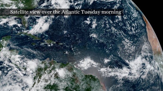
Overview
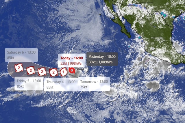
- Kiko reached hurricane strength with maximum sustained winds near 75 mph about 1,840 miles east of Hilo, Hawaii, moving west with no coastal watches or warnings in effect.
- The National Hurricane Center expects Kiko to continue west and likely enter the central Pacific within four to five days, at which point the Central Pacific Hurricane Center will take over advisories.
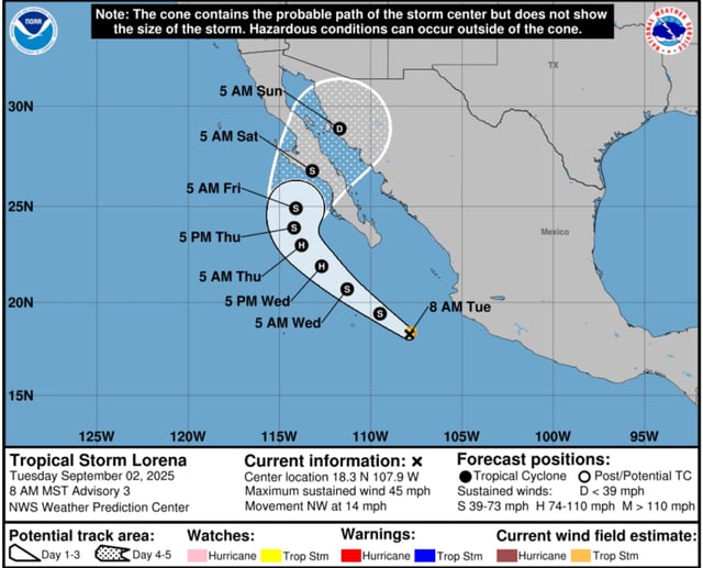
- Tropical Storm Lorena formed off Mexico with 45 mph winds and is tracking northwest; watches may be issued for Baja California Sur as heavy rain and flash flooding threaten areas from Colima to Sinaloa and across Baja from Wednesday into Friday.
- Forecast guidance indicates Lorena’s remnants could funnel tropical moisture into Texas this weekend, with the Weather Prediction Center flagging a marginal risk for excessive rainfall shifting east through late weekend.
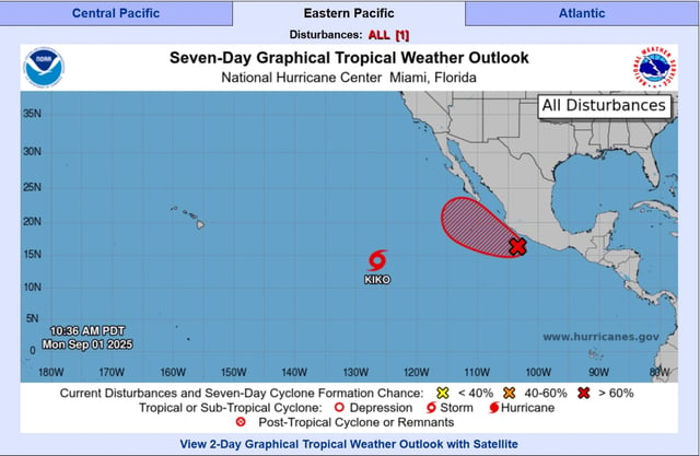
- A tropical wave south of the Cabo Verde islands carries a 70% chance of development within seven days and could become Gabrielle later this week, though any eventual track and impacts remain uncertain.