

Overview
- Henriette is a Category 1 hurricane centered about 845 kilometers northwest of Honolulu with no coastal watches or warnings in effect and no threat to Hawaii
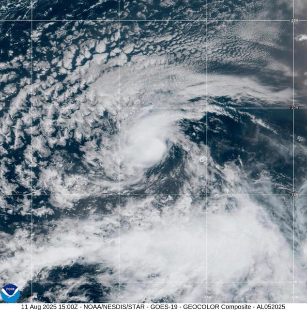
- Erin formed Monday about 280 miles west-northwest of the Cape Verde islands with sustained winds near 45 mph and is advancing west at approximately 20 mph
- National Hurricane Center guidance and multiple model ensembles project Erin to reach hurricane strength by Wednesday and major-hurricane status by Saturday before turning north-northeast toward Bermuda
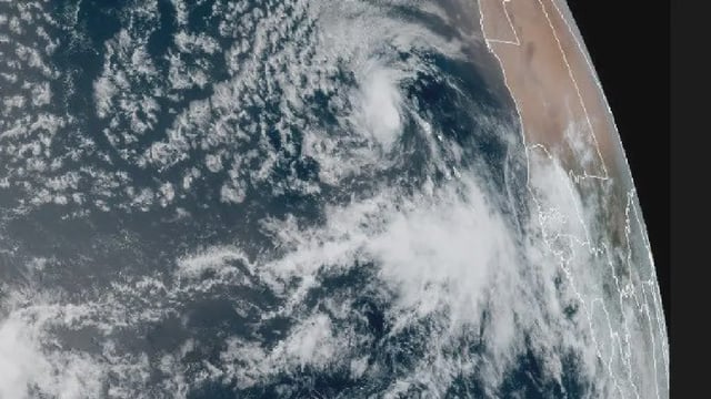
- Remnants of Tropical Storm Ivo have dissipated offshore but continue to generate hazardous surf and rip currents along southern Baja California, prompting local advisories despite the absence of formal warnings
- Agencies including the NHC, Mexico’s Conagua and SMN are maintaining close surveillance on all systems and caution that offshore storms can still produce dangerous waves, coastal erosion and heavy rainfall