Overview
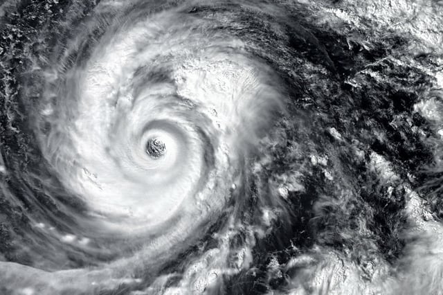
- Erin was a Category 3 early Tuesday with sustained winds near 115 mph (185 km/h) and an expanding wind field, with hurricane‑force winds extending up to 80 miles (130 km) from its core.
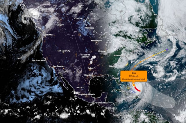
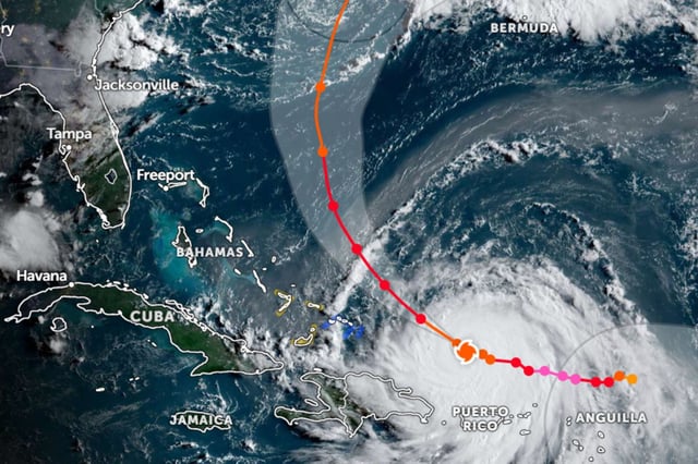
- The National Hurricane Center projects the center to pass east of the Bahamas Tuesday night and then track over the western Atlantic between the U.S. East Coast and Bermuda on Wednesday and Thursday.
- Dare County, North Carolina, declared an emergency and ordered evacuations for Hatteras and Ocracoke as forecasters warn of coastal flooding, ocean overwash and damage risks to N.C. 12.
- Life‑threatening surf and rip currents are expected along much of the U.S. East Coast, with hazardous seas also reaching the Bahamas, Bermuda and Atlantic Canada this week.
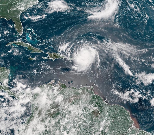
- Erin’s outer bands previously knocked out power to roughly 147,000–160,000 customers in Puerto Rico, and forecasters caution that very large waves near the storm’s core could reach about 50 feet, posing severe maritime hazards.