Overview
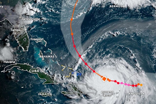
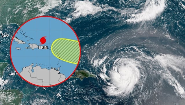
- Erin was downgraded to Category 3 with sustained winds of 200 km/h and a tropical-storm-force wind field extending about 330 km.
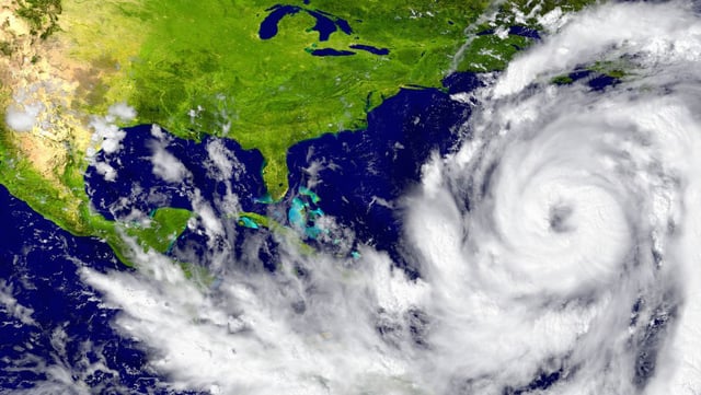
- Its core is forecast to pass north of Puerto Rico and near the Turks and Caicos Islands, generating hazardous coastal conditions along the Caribbean and the U.S. East Coast.
- Forecasters anticipate gradual weakening beginning Monday, though the storm may expand in size and maintain marine threats through Bermuda and Atlantic Canada.
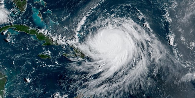
- Puerto Rico has reported a peak of 160,000 customers without power as outer bands deliver heavy rains of up to six inches, raising flooding concerns.
- The National Hurricane Center warns that life-threatening rip currents, surf and storm surge will continue across multiple island territories and mainland beaches.