


Overview
- Erin dropped to Category 1 early Friday with 90 mph (150 km/h) winds and was about 490 miles south‑southwest of Halifax, Nova Scotia, as it tracked away from the U.S. coast.
- Powerful waves and life‑threatening rip currents extended from the Carolinas to New England, with strong winds and surf battering Nantucket and Martha’s Vineyard and coastal flood alerts posted in parts of New York and New Jersey.
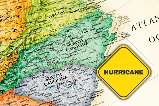
- North Carolina’s Outer Banks saw dune overwash and sand and water on Highway 12, though officials reported no widespread structural damage, and prior tropical storm alerts for North Carolina and Virginia were canceled.
- Bermuda remained under a tropical storm warning, while earlier U.S. measures included mandatory evacuations on Ocracoke and Hatteras and beach swimming closures in New York City as rescuers pulled dozens from rip currents.
- Forecasts call for gradual weakening and a post‑tropical transition by the weekend, with European services monitoring Erin’s remnants for possible minor effects in northern Spain next week.