Overview
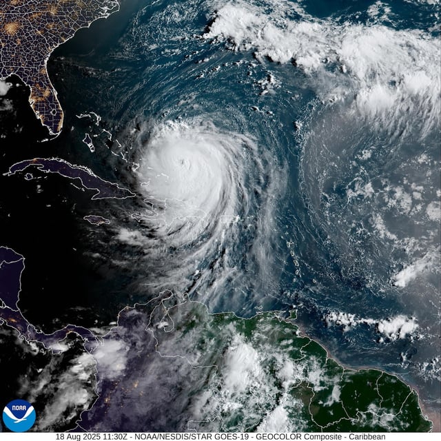
- Erin re-intensified to a Category 4 hurricane with sustained winds near 130 mph, and the National Hurricane Center warns additional strengthening is possible before a northward shift.
- Dare County designated Hatteras Island Zone A for evacuation beginning Monday for visitors and Tuesday for residents, while Hyde County ordered immediate departure for Ocracoke visitors and a 6 a.m. Tuesday evacuation for locals.
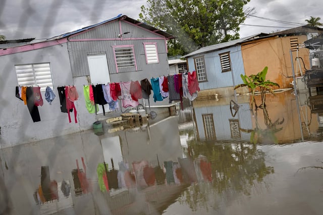
- Coastal flooding and ocean overwash are expected from August 19 through 21, with sections of N.C. Highway 12 likely to become impassable and isolate barrier-island communities.
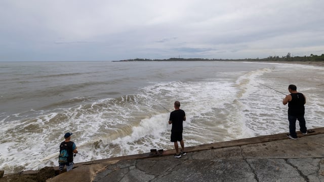
- Despite tracking offshore, Erin’s expanding wind field is already generating life-threatening surf and rip currents along the U.S. East Coast, Bermuda, the Bahamas and Atlantic Canada.
- The National Hurricane Center is monitoring a separate tropical wave with about a 50 percent chance of development within seven days, extending uncertainty in the Atlantic tropics.